Create Memories by The Shore
Diamond City, AR 72644
Boone County, Arkansas
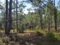
Lot Description
Owner Financing:
- $50 down (plus the $250 doc fee)
- $50 down $85/Mo for 44 months (plus prorated taxes and a $12/Mo note maintenance fee)
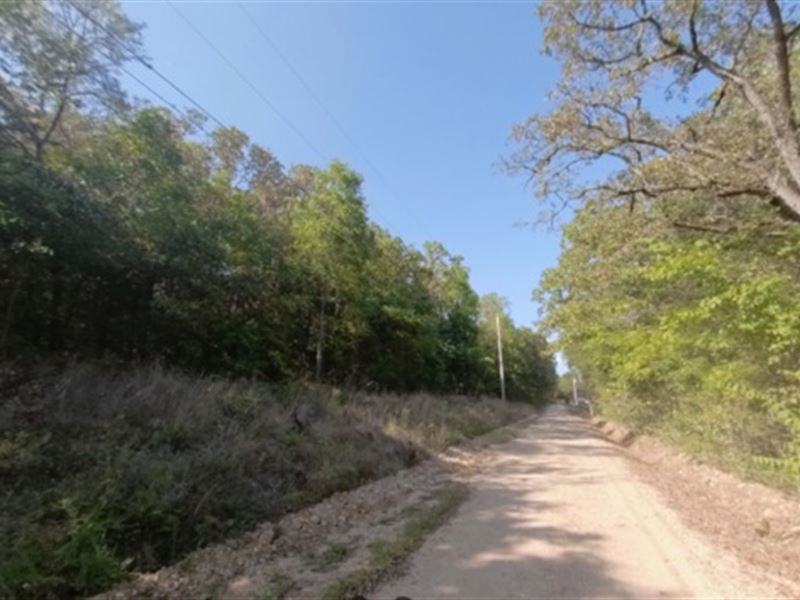
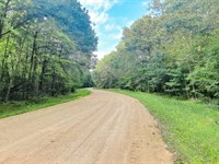
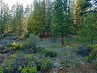
Tired of the daily grind? Longing for a tranquil escape where you can enjoy weekend adventures on the water? Look no further. We present a golden opportunity to own 0.17 acres of prime land in the coveted Evergreen Park Subdivision, Diamond City, AR. If you're a water sports enthusiast or a dedicated angler seeking the perfect home base just 1.5 miles from the renowned Bull Shoals Lake Marina, this property is your dream come true.
A Rich Heritage: Diamond City's history adds to the charm of this location. Situated on the banks of what once was the White River at the site of the mid-nineteenth-century town of Dubuque, this area has a fascinating past. Dubuque was once the last stop on the White River for northbound steamboats. When Bull Shoals Lake was created in 1952, the nearby town of Lead Hill was relocated, leaving Diamond City's high banks untouched. For years, the excellent fishing on the Diamond City peninsula was a local secret. Founded in 1953 as Sugar Loaf, it began to flourish under the development of Henry Dietz, ultimately incorporating as Diamond City in 1966.
Don't Wait - Act Now. Seize this opportunity to own a piece of waterfront paradise in Diamond City, AR. With mobile homes allowed and RVs permitted during construction, the path to lakeside living has never been more accessible.
Subdivision: Evergreen Park Sub
STREET Address: N/A, near W Blue Jay Ln, Diamond City, AR 72644
County: Boone County, Ar
Size: 0.17 acres
LOT Dimensions: 60 feet x 137 feet
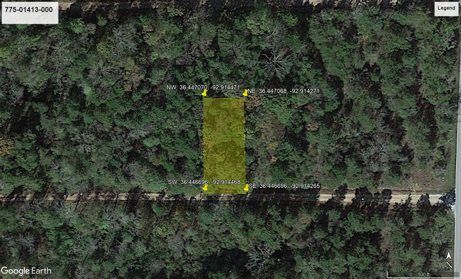
Apn: 775-01413-000
Legal Description: Lot Six (6), Block Three (3), Evergreen Park Subdivision in the incorporated town of Diamond City, Boone County, Arkansas, per subdivision plat recorded in Deed Record Book No. 27 and Plat Annex Book No. 1, Page No. 453-454 in the office of the Circuit Clerk Recorder.
Google Maps Link:
Lat/Long Coordinates:
Nw: 36.447070, -92.914471
Ne: 36.447068, -92.914271
Sw: 36.446696, -92.914468
Se: 36.446696, -92.914265
Elevation: 798 feet
ANNUAL Taxes: Approx. $64.84 per year
Zoning: R-1
Flood Zone: No
HOA/POA: No
IMPROVEMENTS: None
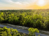
ACCESS: The property can be accessed via W Blue Jay Ln.
WATER: None
SEWER: None
UTILITIES: There are power lines along S Diamond Blvd. Phone by cellular, satellite Tv/Internet/Phone
Lot Maps & Attachments
More Lot Details
More Lots from Landopia, LLC
 0.8 AC : $16.5K
- 2.8 AC : $23K
- 5 AC : $15.1K
- 0.2 AC : $12.8K
- 5 AC : $14.2K
- 1.5 AC : $20.1K
- 0.6 AC : $19.8K
- 2.5 AC : $23K
- 0.5 AC : $19.3K
- 1.1 AC : $5.5K
- 1.1 AC : $8.5K
- 0.6 AC : $21K


