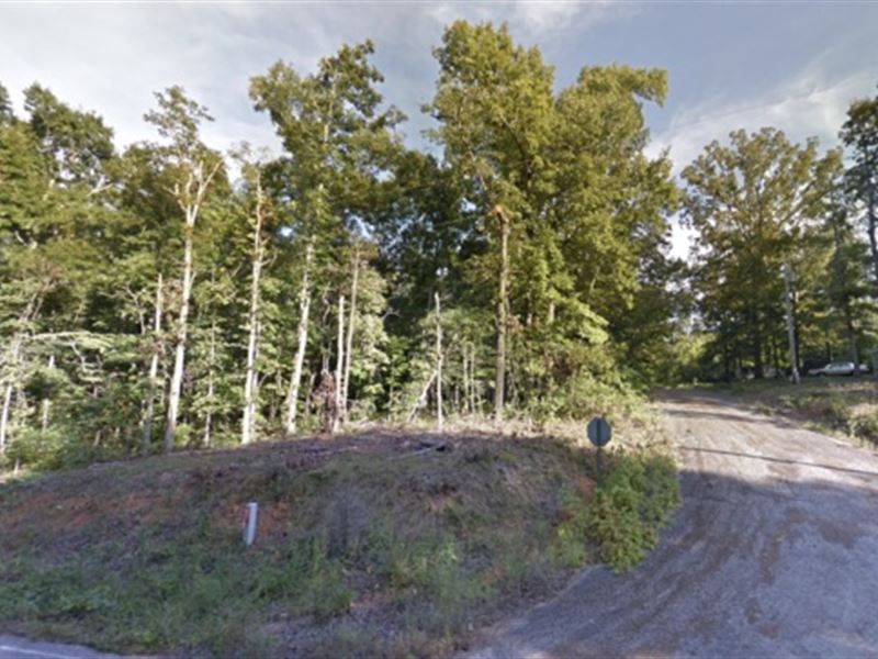
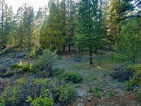
Destiny on Lake Vagabond's Doorstep
Williford, AR 72482
Sharp County, Arkansas
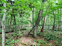
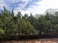
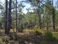
Lot Description
Owner Financing:
- $100 down (plus the $250 doc fee)
- $100 down $100 for 54 months (plus prorated taxes and a $12/Mo note maintenance fee)
Have you ever felt boxed in, dreaming of land where the only boundaries are those you set for yourself? Where you're not just another address, but where every inch responds to your desires and dreams?
Life's too short to be trapped in restrictions, especially when you're searching for a piece of land to call your own.
Every plot you find either keeps you from building your dream dwelling or holds you back with countless zoning regulations. You're tired of the red tape, aren't you?
And for those moments when you need the conveniences of modern life? Big cities and essential stores are well within reach.
This is not just land. It's liberty. So, why wait? Let your dreams roam free and seize this opportunity before someone else does. Lake Vagabond is calling. Will you answer?
Subdivision: Lake Forrest Addn
STREET Address: N/A, near Buckboard Rd, Williford, AR 72482
State: Ar
COUNTY: Sharp County, Ar
Zip: 72482
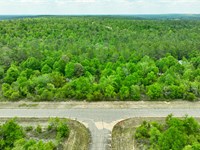
Size: 0.29 acres
LOT Dimensions: 157 feet (NW Leg) x 99 feet (NE Leg) x 157 feet (SE Leg) x 69 feet (SW Leg)
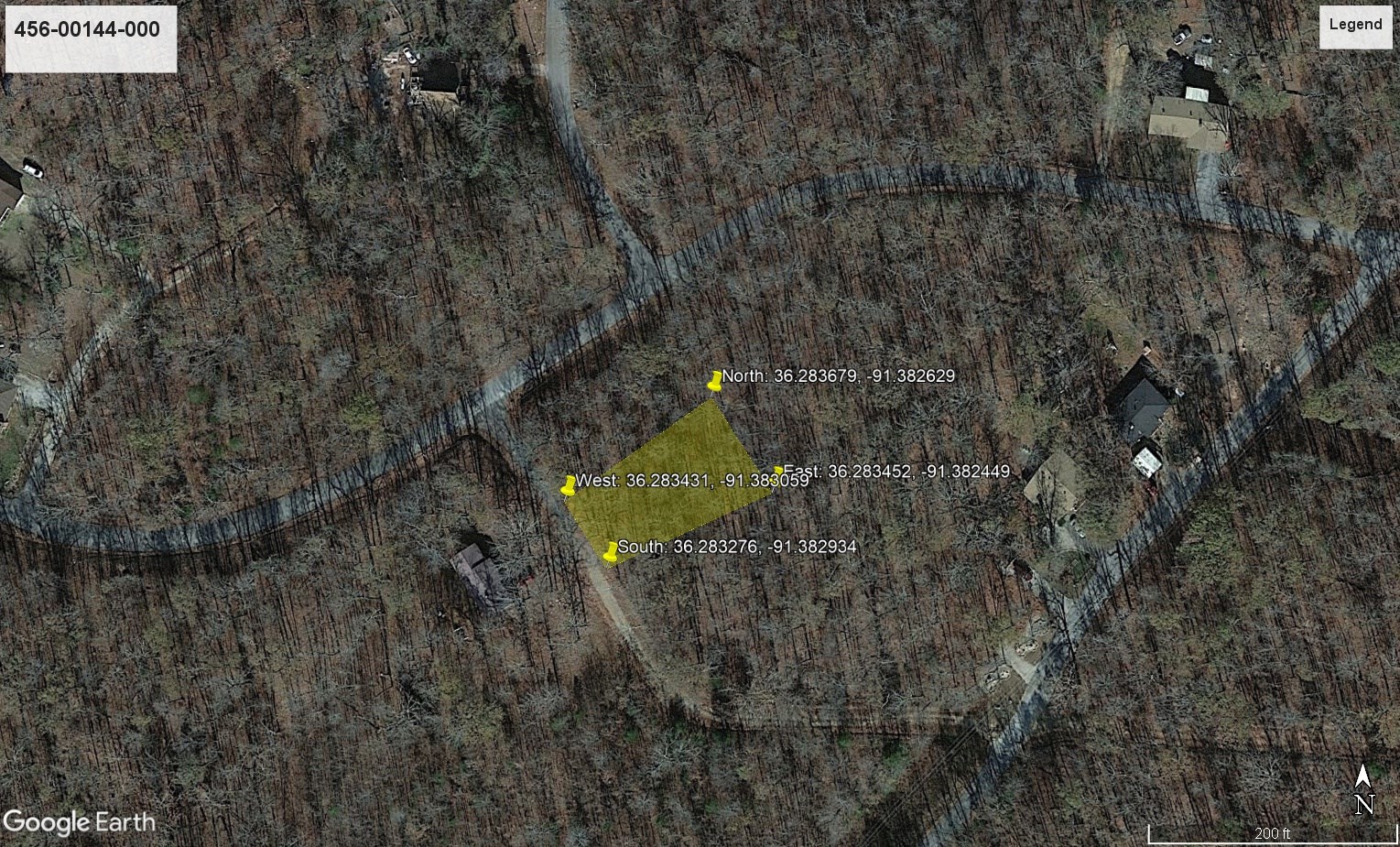
Apn: 456-00144-000
Legal Description: Lot Eight (8), Block Twelve (12), Lake Forest Addition to Ozark Acres Land Company, Inc., per recorded plat or plats, and subject to the easements, notes and other indicated restrictions, if any, on the said plat or plats, and subject to the conditions and restrictions as set forth in the Bill of Assurance and amendments thereto, if any, of record in the Office of the Circuit Court Clerk and Ex-Officio Recorder of said County and State.
Lat/Long Coordinates:
Nw: 36.283679, -91.382629
Ne: 36.283452, -91.382449
Sw: 36.283276, -91.382934
Se: 36.283431, -91.383059
Additional Coordinates:
North: 36.283679, -91.382629
East: 36.283452, -91.382449
South: 36.283276, -91.382934
West: 36.283431, -91.383059
Elevation: 539 feet
ANNUAL Taxes: Approx. $160 per year
ZONING: Single Family Homes, Manufactured homes and Modular housing are allowed. There is no time limit to build. The minimum building size is 500 sqft. Short-term recreational vehicle on the resident's lot for a maximum of two (2) weeks if the resident's lot has hook ups for sewage for the RV, and no more than two (2) nights if the resident's lot contains no hook ups for sewage. No long term camping or RV living on the property. Property owners can access to the area amenities (lakes and parks) as well as a discount for renting out the community clubhouse.
Flood Zone: No
HOA/POA: No. But Ozark SID is charging $110.00 Yearly/lot
IMPROVEMENTS: None
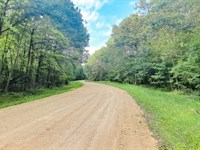
ACCESS: The property can be accessed via BuckBoard Rd.
WATER: Would be a well, water haul and holding tank or other similar option
SEWER: Would be by Septic
UTILITIES: There is power in the area. Power could also be by solar, wind or generator, Phone by cellular, satellite Tv/Internet/Phone
Lot Maps & Attachments
More Lot Details
More Lots from Landopia, LLC
 5 AC : $15.1K
- 5.1 AC : $11.7K
- 2.3 AC : $21.8K
- 20 AC : $26.7K
- 0.5 AC : $13.5K
- 1.8 AC : $44.8K
- 0.8 AC : $16.5K
- 2.8 AC : $23K
- 0.2 AC : $12.8K
- 5 AC : $14.2K
- 0.6 AC : $19.8K
- 2.5 AC : $23K


