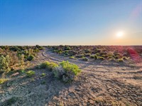
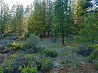
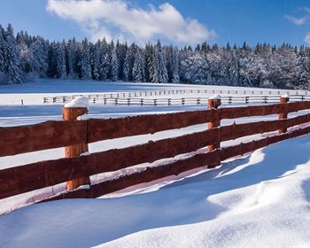
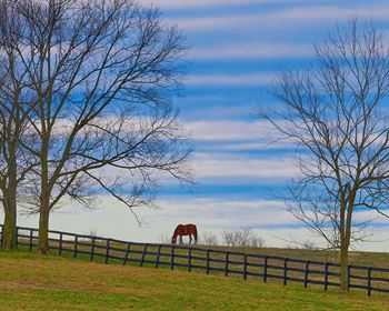
A Fly Fisherman's Paradise
Sprague River, OR 97639
Klamath County, Oregon
Lot Description
Subdivision: Nimrod River Park 2nd Addition
STREET Address: N/A, Coos St, Sprague River, OR 97639
State: Or
COUNTY: Klamath County, Or
Zip: 97639
Size: 1.35 acres
LOT Dimensions: 347 feet (Eastern Leg) x 320 feet (Southern Leg) x 393 feet (Western Leg) x 34 feet (Northern Leg)
Apn: 350284
Legal Description: Block 10, Lot 26 OF The 2nd Addition TO Nimrod River Park as shown on map in official records of said county.
Lat/Long Coordinates:
Nw: 42.466716, -121.391516
Ne: 42.466262, -121.390391
Sw: 42.465626, -121.391182
Se: 42.466658, -121.391615
Additional Coordinates:
North: 42.466716, -121.391516
East: 42.466262, -121.390391
South: 42.465626, -121.391182
West: 42.466658, -121.391615
Elevation: 4,329 ft
ANNUAL Taxes: Approx. $180 per year
ZONING: Land Use Zoning: CO - (R-2) Rural Residential - No time limit to build. Site built, mobile homes & manufactured homes are okay. The building code that Klamath County uses allows houses as small as 300 sq. ft. RV's are allowed for camping but not as a permanent residence. Camping is allowed for up to 21 days every 6 month period. Permits only required if staying for more than one week at a time. Tiny homes on trailer frames are registered by DMV as an RV so fall under the camping regulations. Contact Klamath County, OR Planning and Zoning Department for more info.
HOA/POA: No
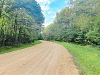
ACCESS: Dirt Roads
WATER: Would be a well, water haul and holding tank or other similar option
SEWER: Would be by Septic
UTILITIES: Power by solar, wind or generator, Phone by cellular, satellite Tv/Internet/Phone
Lot Maps & Attachments
Directions to Lot
Take Drews Rd to Sprague River Rd - 3 min (1.2 mi)
Continue on Sprague River Rd to Sprague River - 3 min (1.4 mi)
Follow Drews Rd to Coos St
More Lot Details
More Lots from Landopia, LLC
 5 AC : $15.1K
 5.1 AC : $11.7K
 2.3 AC : $21.8K
 20 AC : $26.7K
 0.5 AC : $13.5K
 1.8 AC : $44.8K
 0.8 AC : $16.5K
 2.8 AC : $23K
 0.2 AC : $12.8K
 5 AC : $14.2K
 2.5 AC : $23K
 0.5 AC : $19.3K
