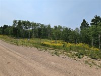
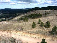
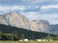
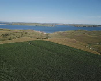
Aeneas Valley 5 Acres
17 Sorona Way East : Tonasket, WA 98855
Okanogan County, Washington
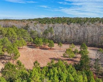
Lot Description
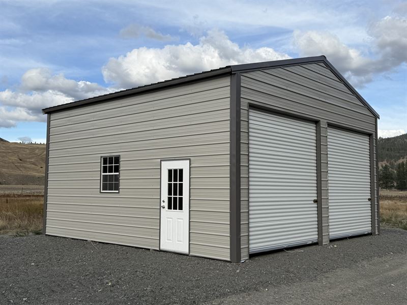
Enjoy all of the recreational opportunities the Aeneas Valley has to offer while having a dry secure place for your base camp or storage while building a residence. Located on the property is a newly constructed and permitted 24x24 insulated shop with double 10 foot doors and a concrete floor. The property backs up to 35 acres of DNR land for privacy and Sorona Way E dead ends at 1000'S of acres of National Forest land. Owner financing available
Improvements
24 24 metal building with 10 foot doors and a concrete floor
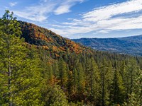
Recreation
Okanogan County is in the heart of North Central Washington State about 150 miles northwest of Spokane and 220 miles east of Seattle. We share a border in the north with Canada and are wedged between the foothills of the Cascade and Rocky Mountains.
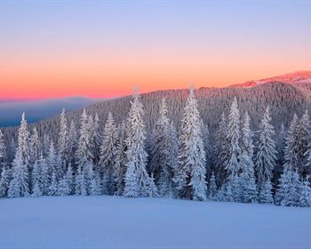
Geographically a highland desert, the area features generally arid summers and mild winters. The county is home to about 43,000 people and covers nearly 5,300 square miles. Residents and visitors alike enjoy fishing, boating, hiking, hunting, golf, downhill and cross-country skiing, snowmobiling, off-road vehicle fun, and other great recreational opportunities.
Region & Climate
The climate in Okanogan, WA County is characterized by mild, dry summers and cold, snowy winters. Average annual precipitation in the county ranges from 8 to 12 inches, with much of this occurring between October and May. Average temperatures range from a low of 19-29 F in winter months to highs of 70-90 F in summer. The area enjoys plenty of sunshine throughout the year and generally experiences fewer cloudy days than other areas of Washington state.
Okanogan County, Washington gets 16 inches of rain, on average, per year. The US average is 38 inches of rain per year.
Okanogan County averages 58 inches of snow per year. The US average is 28 inches of snow per year.
On average, there are 189 sunny days per year in Okanogan County. The US average is 205 sunny days.
Okanogan County gets some kind of precipitation, on average, 88 days per year. Precipitation is rain, snow, sleet, or hail that falls to the ground. In order for precipitation to be counted you have to get at least.01 inches on the ground to measure.
History
Before Europeans arrived, the Okanogan County region was home to numerous indigenous peoples that would eventually become part of three Indian reservations referred to as the Northern Okanogans or Sinkaietk, Tokoratums, Kartars and Konkonelps. They spoke in seven types of Interior Salish languages related to the Puget Sound tribes. The Okanogans experienced a favorable climate, camping in the winter, hunting bears in the spring, catching fish in the summer and hunting deer in fall. The camps consisted of teepee-like longhouses built with hides and bark. Women gathered nuts and berries. A popular destination for this was the Kettle Falls, where the Columbia River dropped some 20 feet 6.1 m.
Due to its remoteness, the Okanogan County area was one of the last in Washington settled by Europeans. It was an early thoroughfare used by prospectors to gain access to other communities, such as British Columbia. By the 21st century, the region specialized in agriculture, forestry and tourism. Electric producer Grand Coulee Dam was constructed between 1933 and 1942, originally with two power plants, around the Okanogan and Grant counties at the former's southern border. 7
Directions to Lot
Hwy 20 to Aeneas Valley RD, Right on Watoka Way, Right on Poglina Way, Left on Sorona Way E to property on the Left
More Lot Details
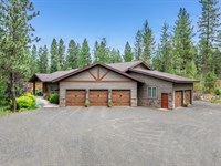
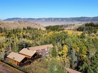
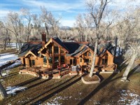
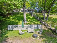
More Lots from Hayden Outdoors
 11.6 AC : $1.69M
- 18.4 AC : $890K
- 2.9 AC : $1.98M
- 8.1 AC : $2.38M
- 2.1 AC : $1.2M
- 14.2 AC : $3.8M
- 0.2 AC : $825K
- 2.9 AC : $265K
- 0.6 AC : $519K
- 2 AC : $275K
- 13.7 AC : $699K
- 15.4 AC : $185K