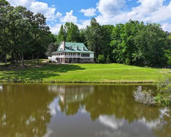
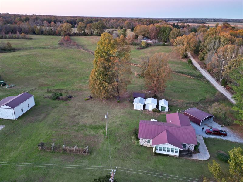
Brick Home with Several Buildings
145 Hwy 361 : Strawberry, AR 72572
Lawrence County, Arkansas
Shown by Appointment Only
Lot Description
This property is 0.75 miles east of Saffell, Arkansas, (8 miles south of Strawberry and 9.50 miles north of Cord). The home is on the north side of State Highway 361 at the intersection of Highway 361 and Lawrence County Road 343.
According to the Lawrence County Tax Assessor's office in Walnut Ridge, Arkansas, this property includes 1.93 acres of land.
According to a recent appraisal, the 1,589 square foot brick home was constructed in 1972. It now has a relative new metal roof. In addition to the home, there are three small storage sheds, (one with electricity), a small pole barn, an attached two car carport, a new detached two-car carport and a 1,533 square foot shop building constructed on a concrete slab.
The Fema Flood Map 05075C0350d shows this property is not in a flood zone.
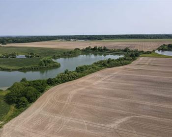
Google Earth shows this property, (by the way the crow flies) is only 2.50 miles from the Shirey Bay/Rainey Brake Wildlife Refuge. It shows the Black River is 4.20 miles east of this property.
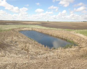
This very clean home with additional buildings will put you in close proximity to some of the best Duck and Deer hunting in Arkansas.
Lot Maps & Attachments
Directions to Lot
In Saffell, from the intersection of State Highway 25 and State Highway 361, go east on Highway 361 for 0.75 miles. This property is on your left, (north side of State Highway 361) at the intersection of Lawrence County Road 343.
Cord, Arkansas is approximately 9.50 miles south of Saffell, Arkansas.
Strawberry, Arkansas is approximately 8 miles north of Saffell, Arkansas.