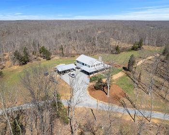
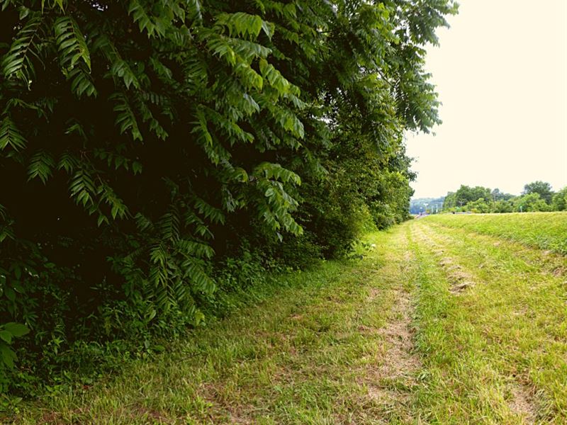
.83 Acre Only 5 Min to Pikeville
Pikeville, TN 37367
Bledsoe County, Tennessee
Lot Description
Grab Your Dream Land at Unbelievable Prices. More details on our website.
Cash Discount Price: + Doc Fee
We accept cash payment via ACH Transfer, Wire Transfer or Zelle.
Seller Financing down + doc fee and for 21 months.
0% Apr. No prepayment penalty. No credit check.
For a limited time, we are offering 20% off the total financing price if you pay off the loan in the first 6 months.
Hold Price: we can hold the property for you for 2 days while you decide whether you want to purchase. If you buy the property, this will count toward the purchase price. You can also hold the property up to 8 days.
Our Guarantee
30 Day Money Back Guarantee (excluding any fees, such as doc fees, taxes, etc) as long as the property is returned in its original condition.
That's Not All...
For a limited time, we are offering a number of bonuses when you purchase a property, including:
1. a complimentary vacation voucher value)
2. a homesteading guide value)
3. 30-day unlimited email support value)
4. and more
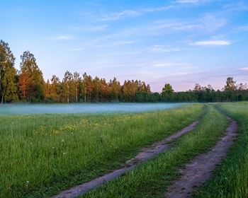
Property Description
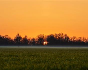
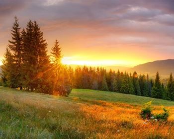
This property is located in Eastern Tennessee's Sequatchie Valley just to the north of Chattanooga. Recreational opportunities in the area include boating, camping and hiking.
The lot is 10 minutes to Pikeville, the county seat, 45 minutes to Fall Creek Falls State Park and 50 minutes to Chattanooga.
According to our research, there is no zoning in Bledsoe County. Please contact the county to confirm all building rules and regulations prior to purchase.
Location
According to website, "Bledsoe County is located in East Tennessee, about an hour north of Chattanooga and is known for being the home to a portion of Fall Creek Falls State Park.
Bledsoe County is the oldest and northernmost county in the Sequatchie Valley. Bledsoe County has a population of 15,234 with 407 square miles and has several outlying communities. The county seat is Pikeville."
Lot Details
Assessor's Parcel Number: 088K-A-013.00
Legal Description: Please email us for a full metes and bounds description.
Elevation: 800'
GPS Center Coordinates (Approx.): 35.5375, -85.2625
Gps Boundary Coordinates (Approx.): 35.53732352, -85.261874971; 35.537926968, -85.26276100; 35.537707715, -85.262964139; 35.537110694, -85.262087535; 35.53732352, -85.261874971
Annual zoning
Time Limit To Build: None as far as we are aware
Access: Dirt road
Power: Please contact Sequachee Valley Electric Cooperative or Fall Creek Falls Utility District.
Water: Public water may be available, but we recommend confirming with Bledsoe County.
Sewer: A septic system would need to be installed. Please note that a perc test has not been done.
Official Contacts: Please contact Bledsoe County.
RVs Allowed? There are no restrictions on RVs at the county level, but deed restrictions do limit RV use on the property.
Buildable? Because we do not know the specifics of what you may want to build on the property, we recommend that you contact the building and/or zoning department(s) for more information on the relevant zoning and building regulations and how to obtain a building permit.
Survey Available? No, we have not had a survey commissioned, but if you would like to pay for a survey we would be happy to work with your chosen surveyor.
In Hoa? No Hoa
Annual HOA 0