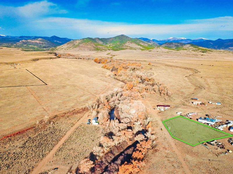
River View Lot By National Forest
Prairie Wind Lane : La Jara, CO 81140
Conejos County, Colorado
Lot Description
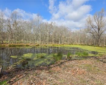
1 Acre lot just 70 feet from the Alamosa River. This Property has approximately 180 feet of Road Frontage on Prairie Wind Lane. Electricity lines and poles are in place 75 feet north of the property.
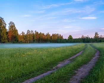
The Property is gently sloped towards the Alamosa River with Mature Trees as you near the River.
The Property is surrounded by Public Land including the Rio Grande National Forest, BLM land, State Parks, State Wildlife Areas and Wildlife Refuges.
Located near the base of the San Juan Mountain Range, this Property offers beautiful views of Chiquito Peak, Rio Grande National Forest, and Green Ridge Mountain.
Within a mile of the Property there is more than 4,600 Acres of BLM located in GMU 81 that is desirable for Hiking, Outdoor Recreation and Hunting.
There is NO Time Limit to Build and NO Hoa.
You can use the Property Recreationally, Seasonally or Live Here Fulltime.
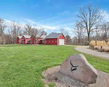
There are RVs, Cabins, Mobile Homes, Site-Built Homes and Ranches on nearby parcels (see photos).
Property Specifications
Parcel Size: 1 Acres +/-
Property ID: Co_Conejos_00019
General Elevation: 8,120 feet
Legal Description: Alamosa River Estates Bak A Lot 14-15-16
Property Taxes: per year
HOA: None
Title: Free & Clear
Conveyance: Warranty Deed
Nearby Towns & Cities
16.4 miles to La Jara, CO : Population 815
19.6 miles to Monte Vista, CO : Population 4,100
26.4 miles to Alamosa, CO : Population 10,000
30.1 miles to Antonito, CO : Population 645
33.3 miles to Del Norte, CO : Population 1,500
49.1 miles to South Fork, CO : Population 370
Nearby Points of Interest
8.5 miles to Rio Grande National Forest
9.2 miles to Terrace Reservoir
16.2 miles to Monte Vista National Wildlife Refuge
32.6 miles to Alamosa National Wildlife Refuge
40 miles to Upper Rio Grande
49.5 miles to Blanca Peak
57.2 miles to Great Sand Dunes National Park
57.6 miles to Zapata Falls
67.5 miles to Wolf Creek Ski Area
Visiting the Property
You are welcome to visit the property at your convenience while it is available.
GPS Coordinates
Southwest Corner: 37.327443, -106.18501
Center Point: 37.327519, -106.184517
Call or Text us anytime for questions or to purchase this property.
Please reference the Property ID: Co_Conejos_00019