Rural Wooded Lot in California
Cascade Cir : California Pines, CA 96101
Modoc County, California
Lot Description
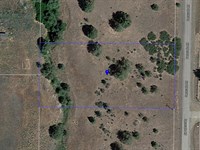
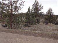
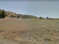
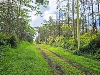
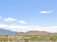
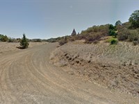
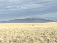
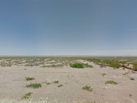
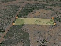
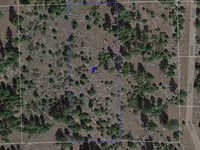
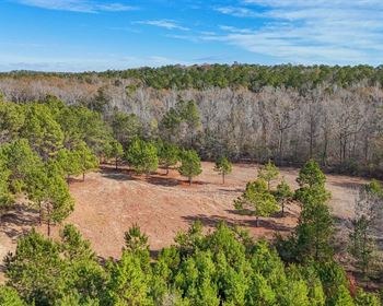
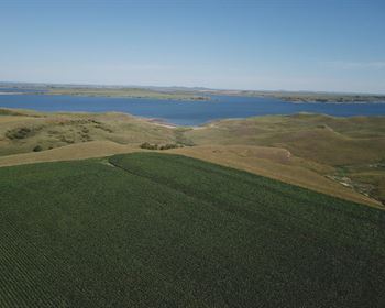
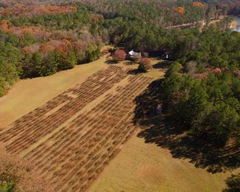
This 1.43 acre parcel is nestled among the pine trees in Northeastern CA, roughly 95 Miles from the city of Redding and 50 miles from the Oregon and Nevada Border. Located on a maintained Dirt road (Cascade Cir.) in the California Pines Poa, this parcel in near everything that Modoc County has to offer; an Outdoorsman's paradise full of opportunities to fish, hike, camp, boat and explore. Enjoy the peaceful and slow paced lifestyle of this beautiful community; surrounded by 2 million acres of the Modoc National Forest.
Modoc County is home to the South Warner Mountain Wilderness, Surprise Valley, Devil's Garden, ghost towns, Fandango Pass, the Modoc National Wildlife Refuge, the Lava Beds National Monument, and the Tule Lake Internment/Segregation Center.
This lot is ideal for a quiet hideaway or a place to pitch a tent for the weekend and get away from it all in beautiful, natural surroundings.
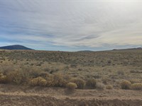
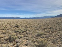
Photos are of General Area and do not reflect the specific property. Due to the Rural nature of the property, lot specific photos have not yet been taken.
How Owner Financing Works
Dollar Land Store offers seller financing for qualified buyers seeking an alternative to traditional bank loans.
• Down payment required to secure the parcel ($1 + document fees).
• Fixed monthly payments for the duration of the loan term
• No bank involvement and no credit check
• No prepayment penalty
The property remains in the Seller's name during the financing term. Once the balance is paid in full, the deed is prepared and recorded transferring ownership to the Buyer. All financing terms, fees, and conditions are fully disclosed in the purchase agreement prior to completion of the sale.
See Dollar Land Store directly for more information
Be sure to reference L11676-1 in any correspondence.
$1 down payment and $199 document fee for lot L11676-1. Your welcome packet, contract, and digital payment coupon book for your monthly payments will be sent to the shipping address you provide. (Please note that we do charge an additional shipping fee for buyers located outside of North America.)
Lot Maps & Attachments
Directions to Lot
Start by heading north on I-5 N from Redding.
Take exit 680 for CA-299 E toward Alturas/Burney.
Continue east on CA-299 E for approximately 140 miles, passing through Burney and Canby.
In Alturas, turn right onto US-395 S.
After about 2 miles, turn right onto County Road 71 (also known as California Pines Blvd).
Continue on California Pines Blvd for approximately 10 miles into the California Pines community.
Turn right onto Cascade Circle.
We recommend using GPS coordinates for best accuracy when visiting. Always inspect the property before purchase.
More Lot Details
More Lots from Ross Amato
 1 AC : $15K
- 1 AC : $15K
- 1.1 AC : $15K
- 0.2 AC : $19.5K
- 10 AC : $17K
- 1.1 AC : $14K
- 5 AC : $10K
- 10 AC : $9K
- 1 AC : $5.9K
- 5 AC : $10K
- 5 AC : $10K
- 0.9 AC : $5.9K