1.46 Acres in Seligman, Az
34296 W Avenida Risco : Seligman, AZ 86337
Yavapai County, Arizona
Lot Description
Adjoining Property is Available.
Parcel Number: 30148032 (to the East) and Parcel Number: 30148034 (to the North)
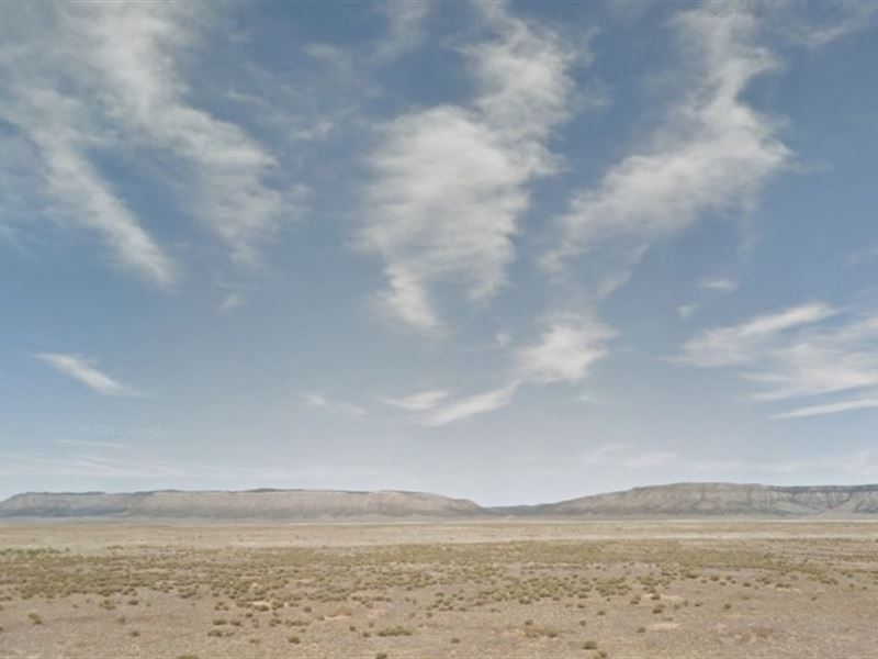
Build your perfect off-grid home on this beautiful 1.46 acre property in Yavapai County, Arizona. Plus, with adjacent properties for sale, you have the option of owning a much bigger piece of land. Outdoor lovers will also enjoy the close proximity to Kaibab National Forest and Prescott National Forest. Plus this property is just two hours from the South Rim of the Grand Canyon. You’ll also have easy access to restocking supplies. The small town of Seligman is just 17 miles away. There you can buy groceries or fuel up. If you’re looking for a slightly larger city, the town of Williams is about an hour away, and Prescott is about two. Contact us if you’re interested in this parcel along with the other adjacent properties. Make this property your peaceful getaway.
Details
Parcel Number: 30148031
Street Address: 34296 W Avenida Risco
City: Seligman
State: AZ
Zip: 86337
County: Yavapai
Subdivision: Bridge Canyon Country Estates Unit 24
Lot: 5085
Short Legal: Lot 5085, Unit 24, Bridge Canyon Country Estates, according to Book 17 of Maps at page 5, also known as Bridge Canyon Hills
TRS: SE 1/4, SW 1/4, SE 1/4 of section 11 of Township 23 North, Range 8 West
Acreage: 1.46
GPS Coordinates: 35.387612, -113.086107
Property Taxes (annual): R-1
Water: None - Well Allowed. Del Rio Drilling and Pump is servicing the area
Sewer: None - Septic Allowed. R-Diamond is servicing the area
Gas: Ferrell Gas and Superior Propane are servicing propane in the area
Electric: Arizona Public Service Company is servicing the area
Phone: None found. Confirm cellphone signal
Access: Access via dirt road
HOA: None
HOA Dues (monthly): N/A
Shape: Rectangular
Terrain: Desert
Slope: Relatively Flat
Elevation: 5,383 Feet Above Sea Level
Water Table: Del Rio Drilling and Pump is servicing the area